 Vancouver
METRO VANCOUVER NEWS
Atmospheric river brings possible flooding and power outages to Metro Vancouver
Environment Canada has issued a rainfall warning for parts of Metro Vancouver, with totals possibly exceeding 80 mm at higher elevations. A stronger pulse may arrive Saturday, bringing more rain and wind, with power outages likely through the weekend.
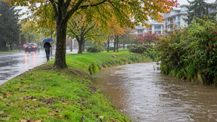
Environment Canada has issued a rainfall warning for parts of Metro Vancouver as an atmospheric river continues to bring heavy moisture. Rain began around midnight Friday, Nov. 6, and continued through the morning and into the afternoon. The warning covers West Vancouver, North Van, Coquitlam and Howe Sound.
Environment Canada meteorologist Gary Lee said about 20 millimetres had fallen in Coquitlam and about 24 mm at Burnaby Mountain. The atmospheric river originated in the subtropics just north of Hawaii, passed over Vancouver Island and then affected the Lower Mainland. The jet stream also brought powerful winds, causing significant power outages along the B.C. coast and in North Van and West Van. Lee said the atmospheric river could still be considered “weaker.”
Periods of rain, at times heavy, are expected to continue for the next few hours. Totals could exceed 80 mm at higher elevations, including the North Shore mountains. The warning advises residents to clear fallen leaves from nearby storm drains to reduce potential property damage, and says water will likely pool on roads and in low-lying areas. Vancouver could receive another 10 to 15 mm.
### Metro Vancouver forecast includes a stronger storm Saturday
Lee warned that the atmospheric river could bring a more potent pulse beginning Saturday, with more rain and stronger winds. He said another system is expected from late Saturday evening through Sunday morning. It could bring strong winds Saturday evening, with the potential for even stronger gusts. He also described a very strong west-to-east jet stream across the Pacific, accompanied by strong winds.
Power outages are possible and likely through the weekend amid the unsettled weather. The storm is expected to ease later Sunday evening, leaving Monday mostly dry. The coast may not stay clear for long: another storm is forecast to bring heavy rain, likely starting Tuesday and continuing for several days.
The BC River Forecast Centre has issued a high streamflow advisory for the B.C. South Coast, but no flood warnings. The advisory says weather modelling indicates the second storm, beginning Saturday, could bring 50 to more than 150 mm of precipitation. The highest amounts are expected over higher terrain and on windward slopes on north and west Vancouver Island, in Howe Sound, on the Sunshine Coast and in the North Shore Mountains. Lee urged residents to follow forecast updates, particularly about the potential for flooding.