 Vancouver
METRO VANCOUVER NEWS
Red River’s colour, floodplain and history mark it as a Prairie landmark
The 885-kilometre Red River flows north through Manitoba to Lake Winnipeg and has a 175-kilometre Manitoba stretch recognized by the Canadian Heritage Rivers System.
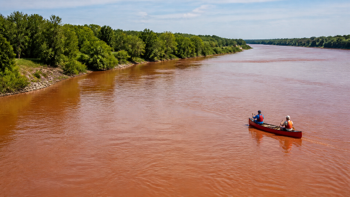
The Red River, also known as the Red River of the North, runs north from the North Dakota–Minnesota boundary through Manitoba before entering Lake Winnipeg. At 885 kilometres, it is the only major Canadian Prairie river that flows northward, and its broad, reddish-brown water is readily visible from the air.
Its fertile valley is prone to spring-thaw flooding, posing periodic risks to communities including Winnipeg, Fargo and Moorhead. The river supports species such as channel catfish, walleye and bigmouth buffalo, while wetlands including Netley Marsh and its rich surrounding soils support a productive agricultural region.
The river and its floodplain are remnants of glacial Lake Agassiz, which formed in southern Manitoba about 8,000 years ago. The corridor includes both boreal plains and prairie ecozones and has long served as a route and source of food and water for Indigenous Peoples and later communities.
The river is associated with First Nations settlement sites, fur-trade posts, the Red River colony and national historic sites including The Forks and Lower Fort Garry. In 2007, the full 175-kilometre Manitoba portion was designated to the Canadian Heritage Rivers System for its cultural values.