 Vancouver
METRO VANCOUVER NEWS
Vancouver forecast calls for near-freezing temperatures on Halloween night
Environment and Climate Change Canada forecasts a 30 per cent chance of showers in Vancouver on Oct. 31, with the overnight low potentially reaching 2°C. It also warns that rising seas and king tides could increase coastal flooding and erosion risks this winter.
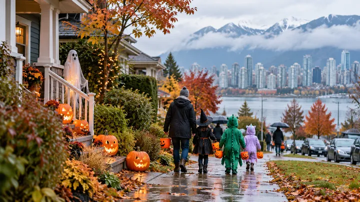
Halloween night could be Vancouver’s coldest night of the week, according to Environment and Climate Change Canada’s seven-day forecast. The agency forecasts a 30 per cent chance of showers during the day on Oct. 31, with temperatures around 11°C, followed by cloudy periods overnight and a low as cold as 2°C. Most other days this week are also forecast to bring showers or a chance of showers. The exception is Sunday, Nov. 1, which is currently expected to be sunny, with a high of 10°C and a low of 4°C.
An earlier forecast reported this week called for a near-freezing low of 2°C on Friday, Oct. 30. The latest forecast shows 4°C instead, leaving open the possibility that Halloween night could also be warmer than previously expected. Vancouver will not be nearly as cold as Edmonton, which is experiencing its first significant snowfall of the season. Based on conversations with Environment and Climate Change Canada, Metro Vancouver will probably have a mild winter and little snow, though conditions can change.
Some coastal communities may also be experiencing a Kelvin Wave. When Daily Hive spoke with Environment and Climate Change Canada expert Bill Merryfield on Oct. 16, he said it was expected to arrive within the next week or two. “It takes about three months to get from where it is created in the far eastern part of the Pacific along the equator to our shores,” he said. The wave’s main consequence is a rise in sea levels. Merryfield said it raised sea levels by about 20 to 40 cm when it affected the California area.
Combined with the sea-level rise, king tides could create treacherous conditions along B.C.’s coast. Merryfield described the last major occurrence as happening “in a very big way” in the late 1990s during a super El Niño. He warned that the El Niño-related sea-level rise could persist for several weeks as winter approaches. In combination with king tides, it could cause more coastal flooding and erosion than would normally occur. B.C. is already expecting a mild winter, and the phenomenon could add warmth to coastal areas and influence winter conditions.