 Vancouver
METRO VANCOUVER NEWS
Calgary student develops climbing-navigation app for rock faces
ThreeTopo uses drone imagery and a 3D model of a 240-metre Alberta climb to give climbers route guidance at safe points during an ascent.
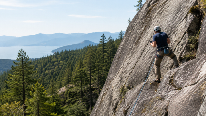
When a climber is hundreds of metres up a rock wall, a single mistake can be life-threatening. Calgary computer-science master’s student and climber Ben Pearman has developed an app intended to help climbers avoid getting lost on a route.
Pearman, who has climbed since he was 18, conceived the project while his group tried to determine the best way up the south face of Mount Yamnuska in Alberta’s southern Bow Valley. He said the scale of the wall can be deceptive from a distance, appearing as one flat, sheer cliff but becoming disorienting up close. The limestone route, called Red Shirt, is what he describes as the “crown jewel” of Rocky Mountain climbing.
The 29-year-old turned a climbing map into the ThreeTopo app. He used a drone to photograph the 240-metre climb in detail and created a three-dimensional digital copy of that section of rock face. The app explores new navigation possibilities and conveys route information to climbers. Pearman said it had to be usable one-handed when climbers consult it at safe points during an ascent.
For example, a climber could ask for the best way forward from a particular point. The app could direct them to traverse left from an anchor, climb upward after reaching a corner until reaching a bolt, then traverse sharply left past a pin to another anchor on the face. Pearman said such practical details previously came only from cryptic, decades-old typewritten notes left by other climbers.
Miles Abesdris, 38, was among experienced climbers asked to test the app. He said it can reduce some of the intimidating unknowns in trad, or traditional, climbing. In that discipline, the lead climber places temporary, removable gear in the rock and clips a rope into it to arrest a fall; a second climber follows and removes the equipment, leaving nothing behind.
Abesdris said trad climbing can initially be frightening, though climbers become more comfortable over time. Hands and feet are important, he said, but climbers must also know where to go. They follow weaknesses in the rock and develop an instinct through experience, but that judgment can be wrong.
Pearman plans to make the app publicly available and hopes other climbers will contribute detailed data for popular North American routes from British Columbia to Nevada to make the sport safer. He said he knows many people who have required helicopter rescue, and that everyone he knows has gone off route at some point.